
Wirt County Assessed, Market, and Sale Values
A Wirt County property value might be an assessed amount. It might be a full-value estimate. Or it might be the consideration stated in a deed. West Virginia sets assessed value at 60 percent of true and actual value. The GIS parcel card shows land, building, and total fields of its own. It shows no sale price. Write the source, tax year, and value type beside every number. Do this for every number you collect from Wirt County property records.
| Value | What It Is | Where |
|---|---|---|
| Assessed value | Tax value at 60% of true and actual value | Assessor / GIS card |
| Market or appraised value | Assessor’s full-value basis before the ratio | Assessor explanation; fields vary |
| Last sale price | Consideration stated with a conveyance if available | Deed; display field not confirmed |
| Land / building / total | Separate assessment amounts and combined value | Wirt GIS card |
An assessed value is not a sale price. The state ratio converts true and actual value into a taxable figure, while a buyer's offer, a private appraisal, or a later improvement can each point somewhere else. The online Wirt parcel card carries no consideration field, so confirm any sale amount from the recorded instrument itself or another solid transaction source in the deed records.
Wirt County Sixty Percent Ratio
West Virginia law assesses property annually at 60 percent of true and actual value. Picture a full-value basis of $100,000. The ratio turns that into $60,000 of assessed value. That is arithmetic, not a Wirt parcel appraisal. The rule explains why assessed and full-value numbers differ. It cannot tell you what a parcel would fetch on the market today.
The Wirt County Assessor values property and applies legal exemptions. The Sheriff collects the tax. To read an assessed-value figure, weigh the ratio. Weigh the tax year printed on the card too. Tax bills, levy rates, and appeal steps sit with the Wirt County property tax records. The county explains the ratio on its Wirt County Assessor page.
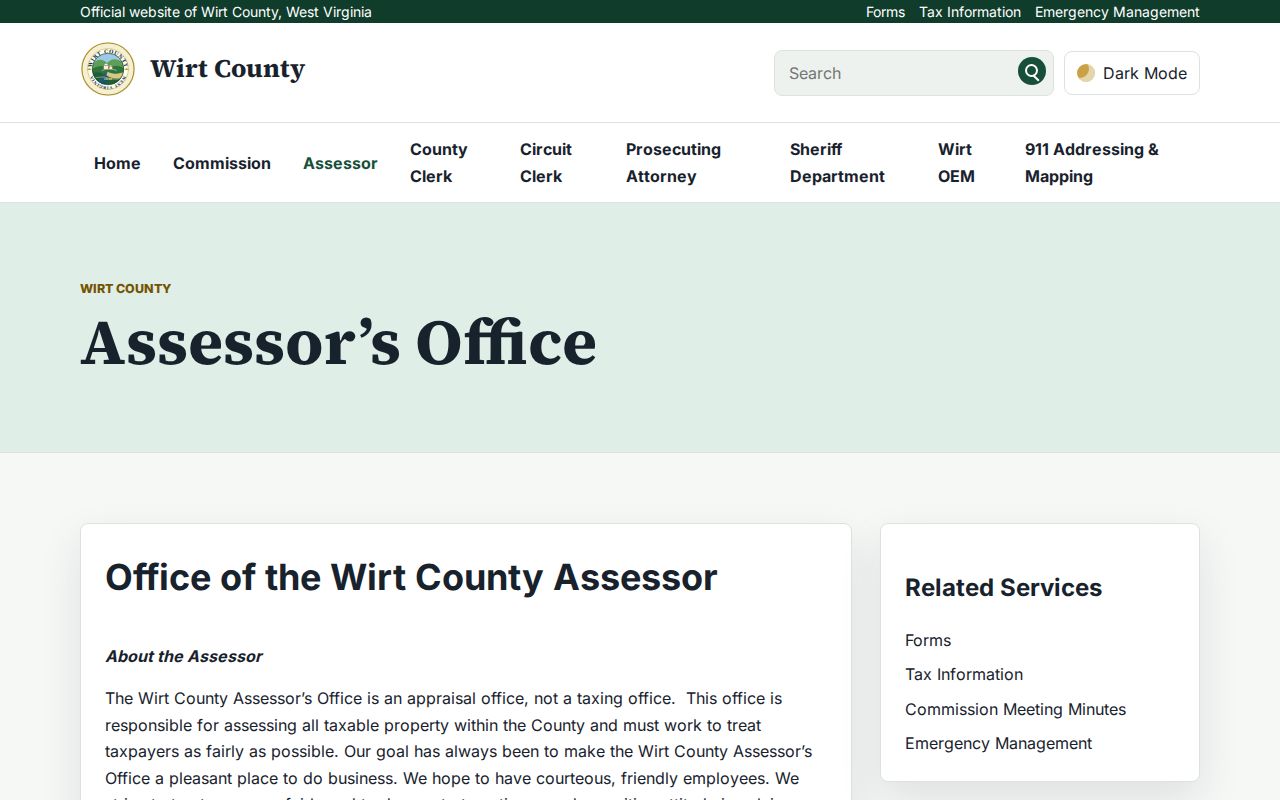
The Assessor’s explanation identifies the tax valuation method, not a current market quote.
Wirt County Land and Building Values
The GIS card splits value into aprland, aprbldg, and aprtot fields. One parcel in tax year 2024 showed $6,100 for land. The building came in at $2,300, and the total was $8,400. Those are assessment fields, not a recent transaction. A farm tract, timber land, or river parcel can carry a far different land-to-building mix. An in-town lot may look nothing like them.
Compare values only when the parcel number, tax year, class, and property description all match. Add or remove a building and the improvement field can move. The land amount holds still. The GIS card is an attribute view. The Assessor answers questions about how a specific value on the Wirt County tax roll was set.
Look Up Wirt County Assessed Value
Start at the Wirt County tax-information page. Open Search Assessment Data New, or pull up the GIS card for a parcel. Search by physical address. You can also copy the exact parcel number straight from the map. Read the value fields and the tax year together. The county publishes no public detail on the dynamic IAS search filters or its value-history display. Ask the Assessor about those.
- Open the Assessor link from Wirt County tax information or find the parcel in GIS.
- Copy `parid` and note `aprland`, `aprbldg`, `aprtot`, and `taxyr` where shown.
- Ask the Assessor for the value explanation if a field or year is unclear.
- Use the recorded deed for transfer evidence; do not assume the card displays sale price.
- Assessed value
- The amount used in the assessment and tax calculation after the ratio.
- Market value
- An estimate of value in an open-market context.
- Assessment ratio
- The state-set share of true and actual value used for assessment.
- Sale consideration
- The amount paid in a transfer, if stated or otherwise reliably documented.
Wirt County Recorded Sale Price
The Wirt GIS card shows no sale price. It does list a book and page reference. That reference leads to the deed in the County Clerk's index. A deed may state its own consideration. The online assessment system offers no public consideration field or standard sale-price display. Never infer a sale amount from assessed value. Read the actual instrument.
When a sale comparison matters, match the deed's parcel or legal description to the current property. One transfer can bundle several parcels, family interests, or terms. Those terms can make its amount a poor yardstick against a single tax card. A market appraisal is a separate professional opinion. One deed amount is not a forecast of current value.
Wirt County July 1 Value Date
West Virginia fixes the annual assessment date at July 1. The owner, use, and value on that date shape the next calendar tax year. A figure tagged with a taxyr label belongs to one specific roll. It is not today's estimate. A later deed or a new improvement may never appear in that annual number.
For a year-over-year comparison, hold the exact parid constant. Log each year's land, building, and total values. Track class or exemption changes separately. They shift the tax picture without any market sale behind them. Wirt County publishes no revaluation announcement or reassessment trend table. The tax roll itself is the record of change.
Wirt County Value Coverage Limits
The GIS card gives you assessment fields and a tax year. The county publishes no detail on the online assessment page's exact filters. Nor does it detail value-history depth or refresh schedule. Ask the Assessor which roll and valuation date govern a given parcel. The Clerk holds recorded transfers. The Assessor explains assessment meaning, and a qualified appraiser offers an independent market opinion.
Wirt County property records make comparisons easier. Value evidence must match the parcel, the date, and the use. A rural tract, a town parcel, and a building lot are not interchangeable. Their assessed totals may sit close together. Cite the source with every number.
What Wirt County Property Value Cannot Say
An assessed value in Wirt County is built for one job: taxation. The Assessor derives it through mass appraisal, not by inspecting each home. That makes it a blunt tool for guessing a sale price. It is not a current appraisal. It says nothing about what a buyer might pay. The parcel card also reflects a set tax year. The Assessor does not publish how quickly values refresh after a deed transfer. For real market answers, lean on a recent deed from the deed records. Pair that with a professional appraisal instead of the tax roll.
Value vs price. Assessed value supports property taxation and does not state what a Wirt County property will sell for. Obtain an independent appraisal for a market-value opinion.