
Reading the Wirt County Parcel Map
Wirt County's ArcGIS web app displays parcels. A card can carry the parcel ID, owner names, mailing address, situs, acreage, legal text, book/page, land, building, and total values, and tax year. The statewide WV Property Viewer also covers Wirt. Its address search, parcel map, and CSV export come with a local-assessor warning, and its layers span parcel boundaries, ownership and assessment attributes, aerial context, and county tax-map data. Zoning, flood, utility, school, and hazard layers are absent. Use the map for orientation, not survey answers.
| Layer | What It Shows | Use |
|---|---|---|
| Parcel polygon | Tax map shape and parcel key | Locate the parcel; not a survey |
| Owner and assessment | Names, mailing/situs, values, tax year | Cross-check with the deed and Assessor |
| Aerial or base map | Road and terrain context | Orient the parcel; not legal evidence |
| Legal and plat references | Book/page, short legal text, historic map | Connect the polygon to an instrument |
| Flood and municipal context | NFIP participation and location questions | Verify a specific layer or boundary with the custodian |
The parcel ID and book/page bridge map to deed. The Assessor supplies classification and value. The Sheriff handles tax-ticket status. The County Clerk holds the deed and the recorded plat. Historic map labels can differ from the modern three-district scheme, so note the district in the deed and the one on the current viewer before assuming they match.
Wirt County Parcel Map Scale
The statewide viewer keeps parcel boundaries hidden until the map reaches roughly a 1:18,056 scale. Search an address first. Zoom in and click the polygon. If more than one parcel sits at the selected point, the popup arrows move through the stacked records. The first result shows the physical address. The owner mailing address appears after the parcel card opens, under Basic Information.
Search results cap at 1,000 and export to CSV. Narrow by road name, parcel ID, or owner. The county GIS app adds print and more-information controls, and its sample card showed PRC and IAS detail links. The Wirt layer list is not fully documented. Do not promise a zoning, flood, or utility overlay until it appears in the live map.
Open the West Virginia Property Viewer and test the scale controls.
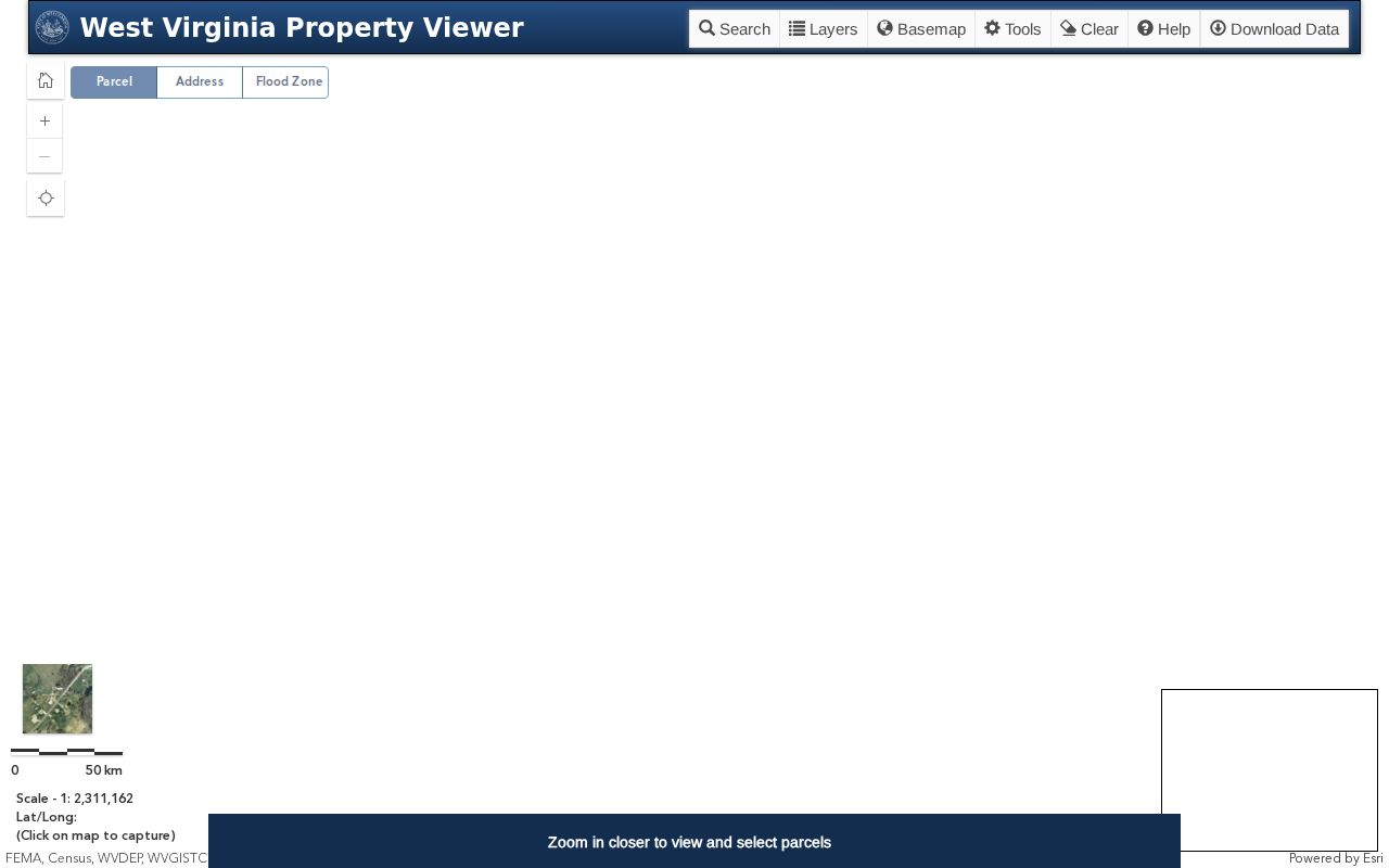
The viewer helps you locate the tax parcel. Compare its attributes with the deed before trusting any map line.
Finding a Wirt County Parcel by Address
In Wirt County, the first search key may be a rural road, route, or community. It may not be a street address. Enter the physical address. Use the Wirt GIS app or the statewide map. Open the matching parcel, and record its parid. Also note own1, own2, owneraddr, prop address, acres, legal fields, and book/page. That card then lines up against the County Clerk's index and the Assessor's roll.
- Search by the situs address, road name, or exact parcel ID.
- Zoom until parcel lines show, select the polygon, and open its Basic Information card.
- Copy the owner, legal, acres, book/page, and assessment fields.
- Cross-check the deed and use the relevant tax or map office for disputed details.
- Parcel number
- The tax identifier used to connect a mapped parcel with assessment fields.
- Plat
- A recorded map that lays out land, lots, or a survey.
- Lot and block
- A description that points to a named recorded plat and a lot.
- Metes and bounds
- Boundary language using courses, distances, and physical references.
Wirt County Parcel Number and Districts
The Wirt card shows parid as 01 9001400000000. The official meaning of each component is not published. Use the complete displayed value. Do not guess that a prefix marks Elizabeth or a particular tax district. The map archive lists older tax-map labels. These include Burning Springs, Clay, Elizabeth Corp, Elizabeth, Newark, Reedy, Spring Creek, and Tucker.
Wirt once had seven magisterial districts. The seven served for over a century. The 1980s consolidation replaced them with Central, Northeast, and Southwest. An older deed may use a district name that does not match the modern map. Search both labels. The legal description, book/page, and plat then identify the same land across the change.
Wirt County Parcel Card Fields
A GIS card can pack detail behind one polygon. One Wirt sample showed a 6.13-acre tract with two owner-name fields and a mailing address different from the situs. It also carried an abbreviated legal description, deed book/page, and separate land, building, and total assessed values. The tax year displayed was 2024. The card lists no sale price or complete exemptions.
| `own1` / `own2` | HENNEN KENNETH L & / JENNIFER L |
|---|---|
| `owneraddr` / `prop address` | 292 STILL RUN RD / ROAD 5 |
| `acres` / `legal1-3` | 6.13 / 6.13 AC. SUR LKR (INCLUDING CAMPSITES) |
| `book` / `page` | 247 / 84 |
| Value fields | `aprland` 6,100; `aprbldg` 2,300; `aprtot` 8,400 |
The abbreviated legal string is a clue to a survey. It is no substitute for the recorded instrument or a surveyor's work.
Wirt County Acreage and Plats
Rural Wirt descriptions lean on acreage, a survey, a stream or road, and an old district. One card read "6.13 AC. SUR LKR (INCLUDING CAMPSITES)." That is only a shortened card description. The Archives finding aid names the H.A. Sommerville plat from 1906, the Hanna Farm Survey Map from 1918, and road maps from 1910-1912. Such records can explain a name or line the current basemap hides.
Ask the County Clerk for the indexed plat and compare it with the deed's legal description. A plat clarifies lot and survey context. Later conveyances may split or combine land, though. GIS orients the search and flags adjacent parcel keys. The recorded deed, plat, or a licensed survey determines the legal relationship.
The Archives land-map finding aid lists Wirt's older plats and surveys. Use it before trusting the basemap alone.
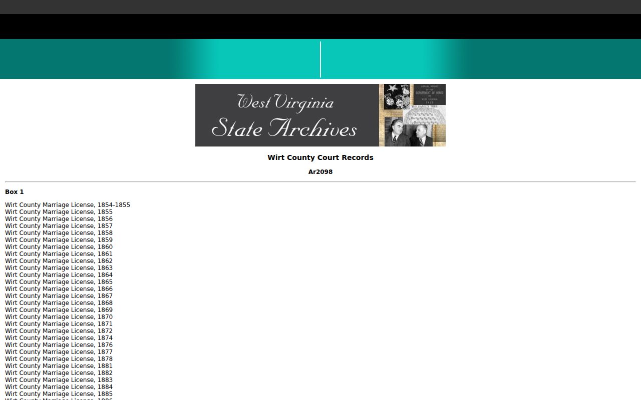
Find the right plat by starting with the archival finding aid, which points to older maps held in record collections. Then confirm the current parcel through the County Clerk and the county GIS viewer.
Elizabeth, Roads, and Floodplain Context
Elizabeth lies on the Little Kanawha River. Both the town and Wirt County take part in the National Flood Insurance Program. Flash floods and bank erosion are real worries for property there. The county map is only a location aid. For a site-specific floodplain determination, ask the town or county floodplain official. NFIP participation alone says nothing about a single parcel.
Wirt County's 911 Addressing and Mapping office handles E911 address assignments and road names. Its published guidance for reflective signs is practical. Keep the sign visible from the road. Set it perpendicular to the road. Mount it high enough to clear road equipment. Keep it free of obstruction. A map address and a tax mailing address can differ, especially outside Elizabeth.
Contact Wirt County 911 Addressing and Mapping with road or assigned-address questions.
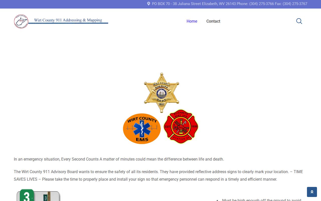
A road label on a map can hint at which parcel sits where, but it is only a clue. Boundary questions belong with the recorded survey and a licensed professional.
Wirt County Parcel Map Limits
Treat a Wirt County parcel map as a reference tool. It shows tax and parcel context well. The map links a parcel to its assessment records and deed references. It cannot certify a boundary. GIS lines sometimes drift from the true line on the ground. The viewer itself tells users to contact the local Assessor about data errors. For real property decisions, the deeded acreage stands as the historic legal record. It documents the conveyance. A recorded plat or a licensed survey supplies the boundary detail that matters. Deed records and plat maps together give the full picture.
Not a survey. Wirt County GIS lines are reference information. Use the deed and recorded plat for the legal description, and obtain a licensed survey before relying on a line for construction or a dispute.