
Wirt County Former Owner Records
Tracing past ownership in Wirt County is a matter of walking deed records backward. Start with the newest deed into the current owner of record. Note the grantor. Then hunt for that same party as an earlier grantee. Repeat the step until the chain runs out. A parcel card from the assessor can supply the book and page reference you need. The county does not publish its online index cutoff. When the web trail goes cold, older deed books, plats, probate files, and the State Archives can carry the chain further back. Anyone can search Wirt County property records by parcel number or owner name this way.
| Source | Years It Covers | Where Held | What It Shows |
|---|---|---|---|
| Clerk Records Inquiry | Online span not stated | Wirt County Clerk | Indexed recorded instruments; search grantee and grantor |
| Deeds / Deeds of Trust B | 1856-1924, overlapping runs | WV Archives finding aid | Older transfers and secured interests |
| Deeds / Deeds of Trust C | 1871-1909 | WV Archives | Historic conveyances and deed-of-trust material |
| Plats and surveys | 1906, 1910-1912, 1918 examples | WV Archives / Clerk | Land descriptions, roads, and map context |
For a recent transfer, begin with the grantee and the latest recorded instrument. Ask the Clerk for the reference once the chain reaches past the online index. The Clerk can also say which book holds it. The Archives finding aid then identifies the older Wirt runs by date. Before 1848 the land sat in other counties. Wirt was created from Jackson and Wood that year. Those parent-county deed records hold the earliest transfers.
Walking the Wirt County Deed Chain Backward
A backward chain is built from verified documents, not a bare list of names. Read the legal description on the current deed. Then find the grantee's own acquisition and repeat with the grantor named there. Carry the land description and district name forward at every step, since rural Wirt parcels are often identified by acreage, survey, stream, road, or an old district rather than a street number.
- Use the parcel card’s book/page or current grantee name to find the newest acquisition deed.
- Read the full grantor and grantee lines and compare the legal description to the parcel.
- Search the grantor as grantee for the earlier acquisition, then repeat across each transfer.
- Note probate, fiduciary, trust, or corporate names that may bridge a transfer.
- When the web index ends, continue with the Clerk’s older books and Archives collection list.
- Grantor / grantee
- The party who conveyed / the party who received the recorded interest.
- Chain of title
- The ordered sequence of land transfers and related records.
- Legal description
- Recorded land language that identifies the property beyond an address.
Wirt County Former Owner Books
The West Virginia Archives finding aid lists Wirt deed and deed-of-trust volumes starting in 1856. Series B runs through 1924 with overlapping date ranges. Series C covers 1871 to 1909. The collection is a guide to holdings, not a searchable transcript of every deed. Ask the Archives about access and the Clerk for the current book reference. Do not assume a full instrument is online.
Wirt County formed in 1848 from Jackson and Wood. A pre-1848 transfer may sit in a parent-county record set. The courthouse has served since 1910, and construction correspondence from 1910-1911 appears in the Archives. No official source reports a courthouse fire destroying deed books. Rely on the documented book series rather than repeating an unverified loss story.
Check the State Archives Wirt collection finding aid for the dated runs.
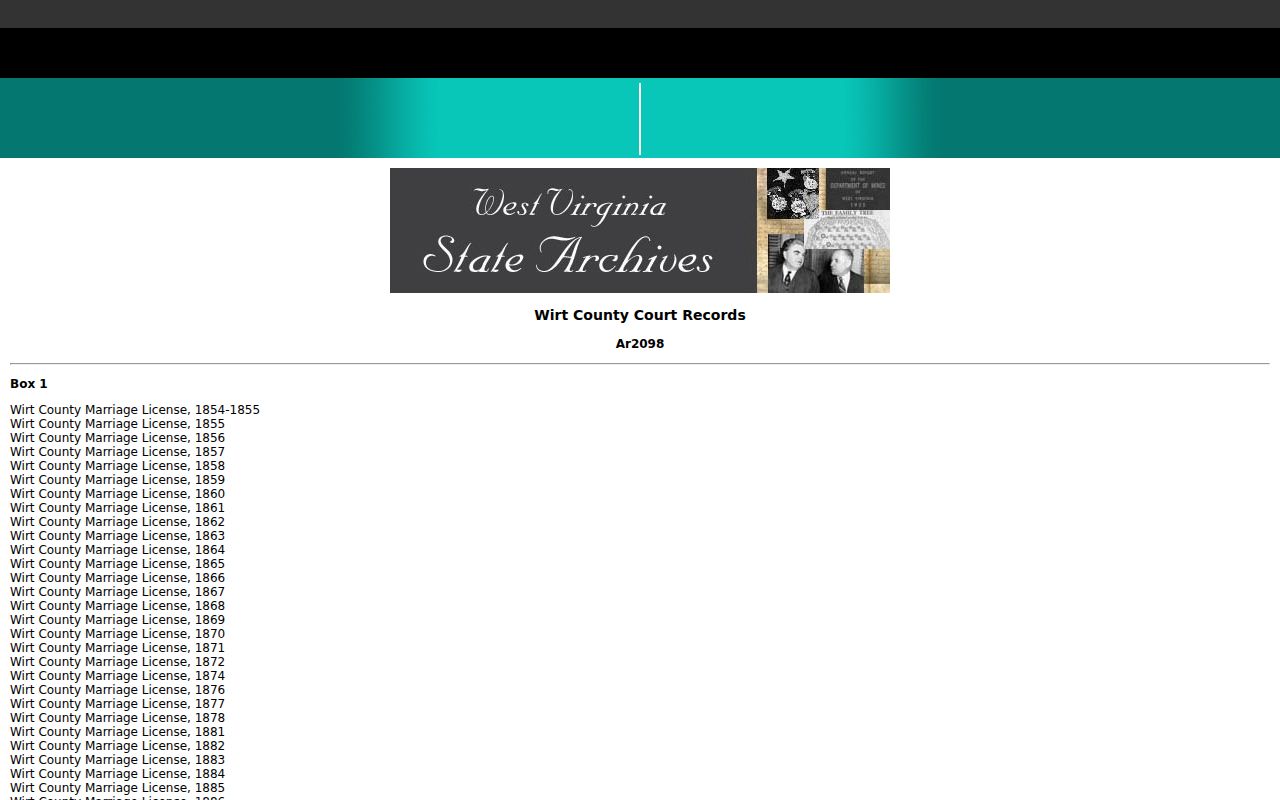
The finding aid only points to the older source trail for these Wirt County owner books. The deed image itself still has to be located and read before any name is trusted.
Wirt County Former Owner District Names
Historic Wirt deeds may cite Burning Springs, Clay, Elizabeth, Newark, Reedy, Spring Creek, or Tucker districts. Those seven magisterial districts were consolidated in the 1980s into Central, Northeast, and Southwest. So a modern GIS map label can differ from an older deed. Both can describe the same land. Search both the old and current district name whenever a party search comes up short.
Compare the district, acreage, stream or road references, and the full legal description. A place name alone is only a clue. It never identifies a parcel by itself. Wirt's map archive carries tax-map labels such as Elizabeth Corp and Elizabeth. But the prefix key is not published. So do not infer location from a parcel number alone.
Wirt County Former Owner Estate Transfers
An estate transfer can interrupt a simple buyer-to-seller chain. The Wirt County Clerk files wills. Historic probate material appears in the Archives finding aid. A deed may name an executor or administrator. It may also name a fiduciary, commissioner, trust, or estate rather than a person. Search the decedent, the estate, the fiduciary, the grantee, and the legal description together. Then read the later deed that moves the land out of the estate.
A probate file can explain authority or heirs. Still, only the deed or court order shows how the parcel actually passed. A death certificate is a separate vital record with access limits. Pair public land filings with the probate record. Never treat an obituary or family history as proof of title.
Wirt County Oil Deeds and Road Records
Wirt County's historical land trail reaches beyond house and farm transfers. Burning Springs drew oil speculators during the rush of the 1860s. The Archives holds later oil and gas recordings, assignments, liens, releases, and road papers from that era. A property name tied to a stream, run, road, or survey may finally make sense. Those deed records are the ones to check. The collection guide also names the H.A. Sommerville plat, the Hanna Farm survey, and road maps from the early twentieth century.
An old oil lease does not automatically establish who owns the surface today. Read the interest and the legal description first. Then search assignments, expirations, or releases in the deed records. Road petitions and maps can explain an old access reference or route name. Only the deed, plat, or survey settles the parcel relationship.
Wirt County Former Owner Search Gap
Wirt County publishes no clear online cutoff year for its land records. The Clerk does state that every recorded document is indexed. A public computer sits in the courthouse for searching. A blank result does not mean a title break. Try alternate spellings of the name, the legal description, a book and page reference, and both historic and modern districts. If the screen still comes up empty, call or visit the Clerk directly.
For older physical series, the Archives can point you to the right shelf. The Clerk can explain how to get a copy. The copy-fee schedule is not posted online. A written request under Chapter 29B should name the property, the parties, the record type, and a date range. That gives the custodian a defined record to pull.
Wirt County Former Owner Record Dates
Wirt County deed and deed-of-trust records begin in 1856, per the Archives finding aid. That date marks the earliest documented land-book run, not the start of every parcel's history. Wirt County itself dates to 1848. Earlier conveyances may sit in Jackson or Wood County records instead. No deed-book destruction event is on record, and no online index cutoff applies.
Anchor each chain of title to a dated instrument rather than a guessed cutoff. When one series runs dry, ask the Clerk and the Archives for adjacent books, deeds of trust, releases, plats, probate files, and parent-county sources. The value lies in documenting each link. Name the source behind every step of the chain.
Lawful use. Use former-owner research for house history, title review, and property diligence. Do not use names or addresses to track, threaten, or harass a living person.