
How to Search Wirt County Property Records
Start with the land itself. A street address, an owner name, or a parcel number can each open a search. The county homepage groups Records Inquiry, Tax Lookup, GIS, and 911 Addressing under popular services. Each link reaches a different kind of record. The Assessor’s online assessment search is linked from the county tax-information page. The Wirt GIS parcel viewer can locate a parcel by its situs address. The statewide WV Property Viewer can do the same. Rural routes trip people up. Try the road name alone or search by owner instead.
Once the map opens a parcel, copy the exact parcel ID, the owner fields, the legal text, and the deed book and page. Then take the owner or legal description to the Clerk’s Records Inquiry. That is where you find the recorded instrument. Follow that with the Sheriff’s Tax Lookup for the bill or any delinquency. This order matters. A map result alone is not proof of title. When a portal fails, the courthouse public terminal and a Chapter 29B request still work.
- Search the address in the Assessor or WV Property Viewer. If it misses, try the road name, owner surname, or parcel ID.
- Open the map result and record `parid`, `own1`, `own2`, `owneraddr`, `prop address`, legal text, and book/page.
- Use the Clerk’s grantor-grantee index to locate the recorded deed and read the instrument itself.
- Check the Assessor for classification and value, the Sheriff for the tax ticket, and GIS for location context.
- For a missing index result, call the Clerk, use its public computer, or request a specific record under Chapter 29B.
Wirt County Property Records Offices
Four desks cover most land-record needs in Wirt County. The County Clerk records deeds and liens. The office also keeps county maps, wills, judgments, and other filings. The Assessor identifies taxable property, lists owners and values, and applies exemptions. The Sheriff’s Tax Office collects property taxes and tracks the tickets. GIS and the statewide viewer draw parcel lines and show assessment attributes. Neither one replaces the deed or a survey.
The county’s official office pages carry the current contact routes. The Clerk and Assessor sit in the courthouse on Washington Street in Elizabeth. The Sheriff posts tax-office details on its own site. Call ahead before traveling for a specific index or copy. The exact copy fee is not published, so ask the custodian directly.
Wirt County Clerk
19 Washington Street, Suite 106
Elizabeth, WV 26143
304-275-4271
Wirt County Assessor
19 Washington Street, Suite 100
Elizabeth, WV 26143
304-275-3192
Wirt County Sheriff Tax Office
Tax lookup is a separate county service
Online ticket portal may be unavailable
Use the Sheriff’s published contact
Wirt County Clerk Terminal Access
The County Clerk states that all recorded documents are indexed and open to the public. A computer in the Clerk’s office is set aside for that search. Maps can be viewed there too. Paper copies cost money. The office calls the fee nominal but posts no schedule. Expect to pay at the counter. The online index lives at Wirt County Clerk Records Inquiry. That portal is sometimes unresponsive. Treat the public terminal and a phone call as the reliable paths, since a blank page does not mean a missing deed.
Some requests go beyond the counter. West Virginia’s Freedom of Information Act, W.Va. Code Chapter 29B, covers public-body records subject to exemptions. A request should name the parcel or owner, the record type, and a date range. Section 29B-1-3 requires a response as soon as practicable. The deadline is five days, excluding weekends and legal holidays. The custodian may charge actual reproduction costs but not search labor. Defined requests work best. Ask for a deed image or a permit file for a named address rather than a general search.
The Clerk’s page appears on the official Wirt County Clerk page. The public-computer notice appears there too.
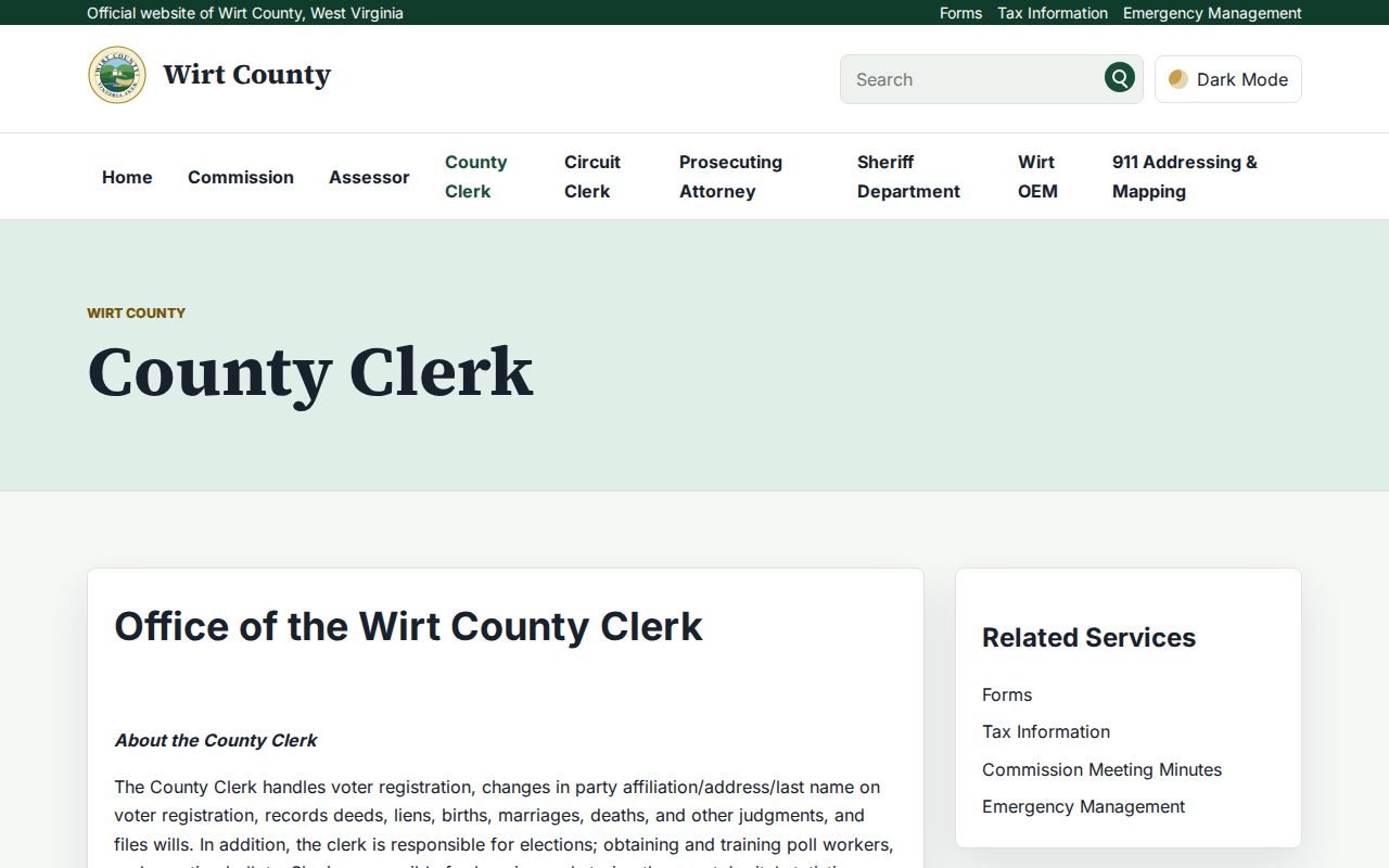
When the online index will not load, the terminal in the Clerk’s office is the working fallback. Copies and certified instruments still come from the custodian.
Read Wirt County Owner Fields
A Wirt GIS card pulls the whole picture into one record. It shows owner, mailing address, situs, acreage, tax value, and deed reference. The names sit in fields labeled `own1` and `own2`. The `owneraddr` field holds the tax-mail address, while `prop address` describes the site itself. One local card makes the distinction plain. Its mailing line read 292 STILL RUN RD and its situs was ROAD 5. The card listed two owners. It also listed a 6.13-acre tract and a deed reference to book 247, page 84. A mailing city alone, in other words, will not locate a parcel.
| Field | What the Wirt GIS card shows |
|---|---|
| `parid` | Parcel key: 01 9001400000000 in the inspected sample |
| `own1` / `own2` | HENNEN KENNETH L & / JENNIFER L |
| `owneraddr` / `prop address` | 292 STILL RUN RD / ROAD 5 |
| `acres` and `legal1-3` | 6.13 acres and abbreviated survey language |
| `book` / `page` | 247 / 84, a Clerk index cross-reference |
| `aprland` / `aprbldg` / `aprtot` | $6,100 / $2,300 / $8,400 for tax year 2024 |
The IAS search form can be hard to reach. The county tax-information page links assessment data, homestead details, levy rates, an estimator, and date guidance. For the full address, owner, and parcel workflow, see the Wirt County property search.
Types of Wirt County Property Records
Wirt County property records divide by function. A deed transfers an interest in land. A deed of trust secures a debt. An assessment roll lists the taxable owner and value, while a tax ticket shows what the Sheriff bills or collects. GIS ties a tax parcel to a map. A court docket can point to foreclosure, partition, or a title dispute. Start with the record that answers your question, then cross-check it against the related file.
| Record Type | What It Documents | Kept By | Access |
|---|---|---|---|
| Deeds and deeds of trust | Transfers, secured interests, book/page references | Wirt County Clerk | Records Inquiry, courthouse computer, or request |
| Liens, releases, and plats | Claims, satisfactions, easements, legal maps | Clerk, GIS, Archives | Index, map viewer, or archival finding aid |
| Assessment and exemptions | Owner, class, land/building/total value | Wirt County Assessor | IAS link, GIS card, office contact |
| Tax tickets and delinquency | Bill, payment, unpaid tax, sale status | Wirt County Sheriff | Tax Lookup or Sheriff fallback |
| Parcel geography | Tax polygons, parcel ID, situs, map context | Wirt GIS and WV Property Viewer | Free online viewers; not a survey |
| Permits and town actions | Building work, zoning, floodplain, ordinances | Town of Elizabeth | Ask Town directly; online lookup not located |
Each office answers a different question. Deeds show who conveyed a parcel. The Assessor sets value and classification, the Sheriff collects what is due, and GIS fixes the location. The deeper Wirt County deed-record search walks through books, parties, and historical instruments. The companion page on Wirt County property tax records covers assessment dates. It also explains the appeal route.
Wirt County’s 60 Percent Assessment Rule
West Virginia law sets assessed value at sixty percent of true and actual value. The math is simple. Multiply appraised value by sixty percent to get the assessed figure. Then the levy rate applies to that assessed amount to produce the tax. The Assessor values property and applies exemptions. The Assessor is not the taxing office, however. The Sheriff handles collection and tax tickets. These roles matter. An assessment figure alone cannot tell you exactly what is owed on a parcel.
July 1 is the annual assessment date. Ownership, use, and value on that date feed the next calendar tax year. The county defines Class II as owner-used residential property and certain owner or farm-tenant land. Class III sits outside a municipality. Class IV sits within one when the property is not Class I or II. For a full bill, exemptions, and the February review period, use the official tax pages instead of treating value fields as a receipt. The Wirt County Assessor page covers both.
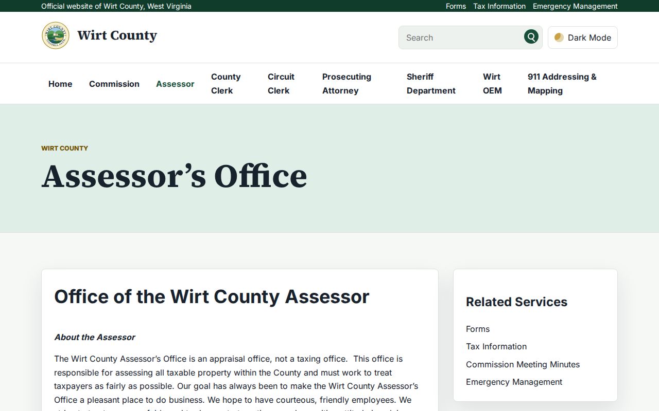
The sixty percent rule explains the assessment figure. It does not estimate a current sale price for a Wirt property.
Wirt County Map Scale and Acreage
WV Property Viewer caps any search at 1,000 results and offers a CSV export. Parcel boundaries stay hidden until you zoom in. The threshold sits near a scale of 1:18,056. At that zoom, select a polygon and open Basic Information. When several parcels sit under one map point, use the popup arrows to move among them. The viewer shows the physical address first. The owner mailing address appears after the parcel is opened.
One sample parcel is a weak guide. Wirt's inspected parcel ID is 01 9001400000000, yet the county publishes no documentation of its component or district prefixes. The GIS map archive uses historic labels like Elizabeth Corp, Elizabeth, Burning Springs, Newark, Reedy, Spring Creek, and Tucker. Older deed references may use the seven district names consolidated in the 1980s into Central, Northeast, and Southwest. For legal boundaries, read the deed and plat, not just the tax polygon.
Wirt County Deed Books and Oil Records
Wirt County formed in 1848. It came from Jackson and Wood counties. A search for land before that date may lead to a parent-county record. The State Archives finding aid lists Wirt deed and deed-of-trust B runs. They cover 1856 through 1924. Deed and deed-of-trust C runs span 1871 to 1909. Later series cover assignments, liens, and releases. The aid also names the 1906 H.A. Sommerville plat. A 1918 Hanna Farm survey map is listed as well. Road maps and an 1899 Elizabeth Cemetery Association deed appear too.
The Archives inventory is a finding aid, not a live transaction search. It still helps when a web index does not state its cutoff. Wirt's courthouse has served the county since 1910. The Archives also holds fire-proof courthouse construction correspondence from 1910 to 1911. No courthouse fire destroyed Wirt deed books. That story should not explain a missing record. Browse the West Virginia Archives Wirt County finding aid for details.
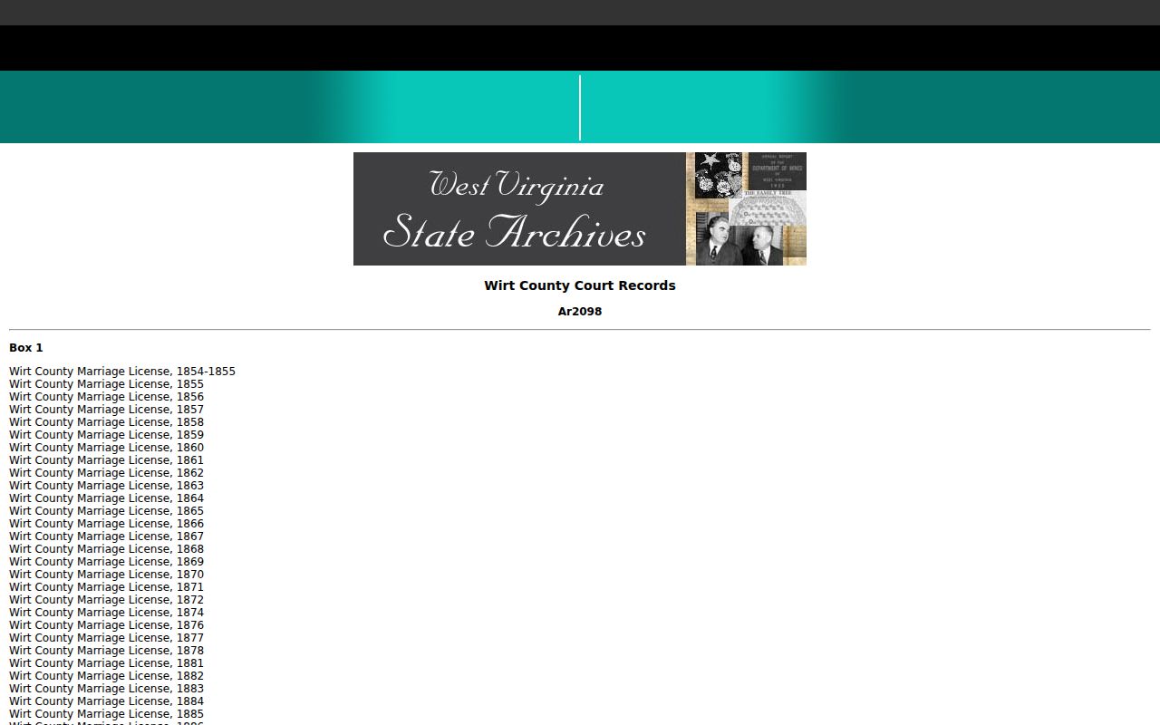
The listed boxes go well beyond deeds. They include land, court, road, oil, cemetery, lien, and map material that can extend a local property history past the current card.
Elizabeth and Rural Wirt Addresses
Elizabeth is the county seat and Wirt's only incorporated community. The county plan reports 719 residents in Elizabeth in the 2020 census. That is about 12 percent of Wirt County. Most live outside town. They reside in unincorporated Creston, Palestine, and Newark, or on family farms and in hollows. A mailing city of Elizabeth therefore does not prove a parcel lies inside town limits. ZIP 26143 is the principal Elizabeth postal identity. A ZIP is not a legal boundary.
Rural situs labels can differ from tax-mail addresses. In the parcel example, the property address was ROAD 5. The owner address was 292 STILL RUN RD. Wirt County 911 Addressing and Mapping is the practical desk for questions about emergency road names. It also handles address assignments. Its published site focuses on reflective signs. Signs must be visible from the road. They must stand perpendicular to it and stay clear of obstructions. Contact the Wirt County 911 Addressing and Mapping office for road and address assignment information.
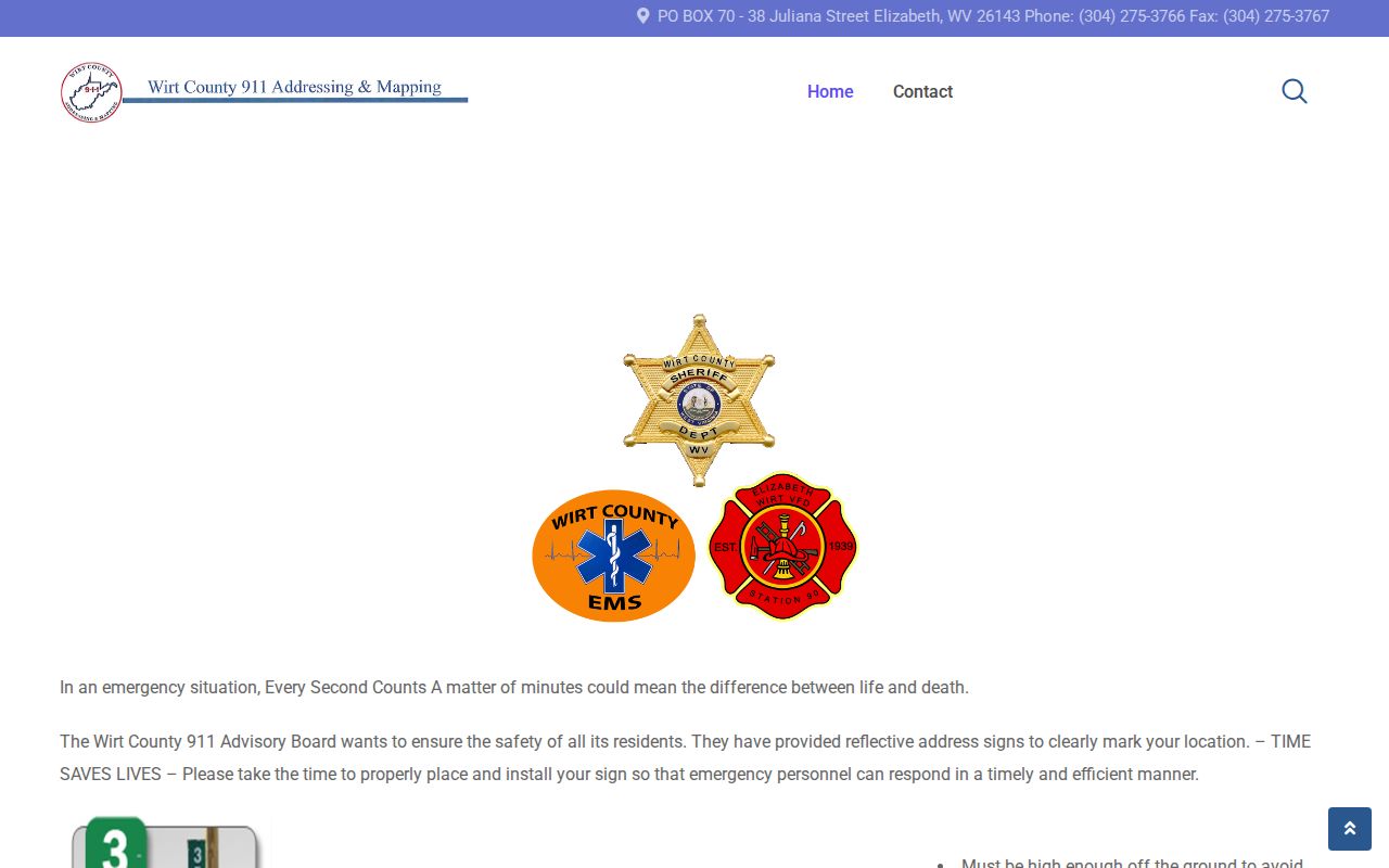
Use the situs field and parcel map to locate the land. Questions about an emergency address or road name go to 911 Addressing.
Wirt County Tax Tickets and Review
Tax tickets and the assessment roll come from two different offices. The Sheriff collects. The Assessor values. State rules have sheriffs issue tax tickets on or after July 15. The July 1 assessment date fixes the owner, use, and value for the year that follows. Wirt County posts a tax-information page as the dependable starting link. The Sheriff's tax office can state any parcel's amount due, installment status, delinquency, or sale status by phone.
West Virginia's equalization and review period runs February 1 through February 28 each year. The county tax page also links levy rates, an estimator, homestead materials, and key dates. Confirm the current Wirt tax-sale calendar and redemption period with the Sheriff. A generic statewide date or a stale list can mislead. A tax sale, a tax deed, a redemption, and a market purchase are distinct events. Each follows different rules.
Statewide timing is published on the West Virginia property-tax calendar.
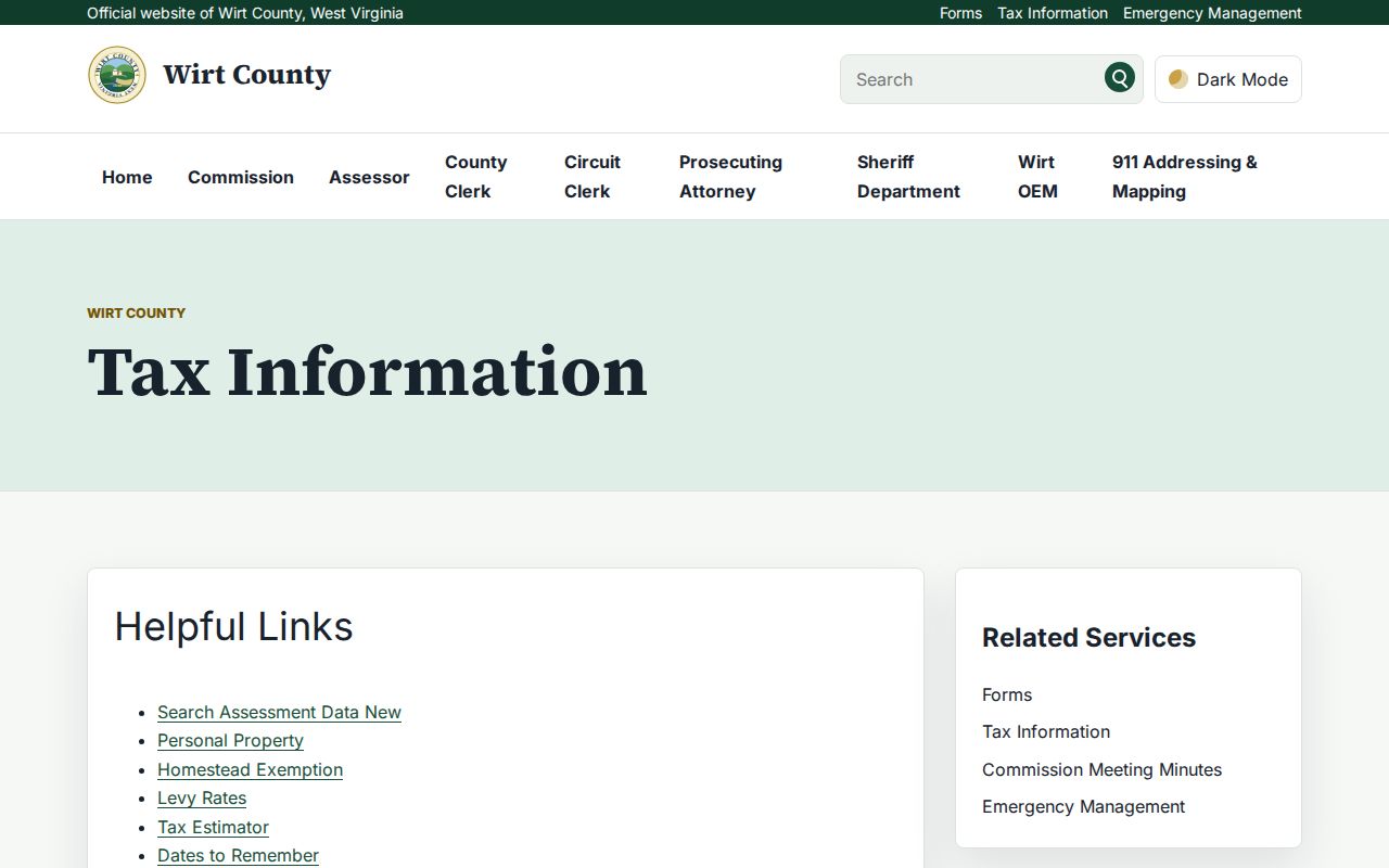
The county page gathers assessment and tax resources in one spot. The bill itself, though, lives in the Sheriff's collection system.
Wirt County’s Records Hub Refresh
WirtCountyWV.net now lists Records Inquiry, Tax Lookup, GIS, and 911 Addressing as popular services on its home page. A current Assessor page sits alongside them. The grouping makes discovery easier. Each link still opens a separate tool, though, with its own custodian. There is no single merged property database behind the home page.
Use the hub to reach the official route. Then read the label on the service that loads. The Clerk index covers recorded instruments. The Sheriff portal handles tax tickets. GIS displays parcels. When a page goes down, the County Clerk's computer, phone contact, and Chapter 29B requests still work. These remain solid backups.
The service grouping appears on the official Wirt County homepage.
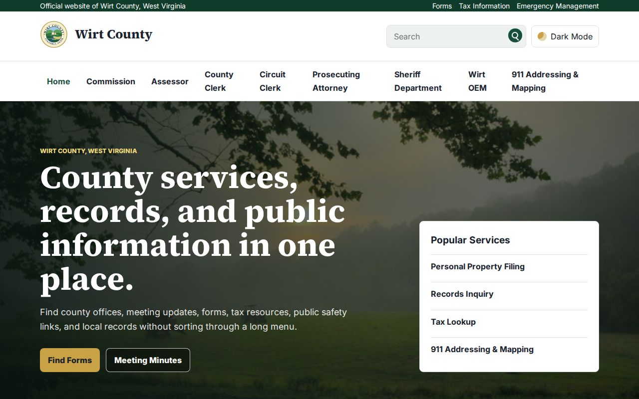
Each service leads to its own county or state system. Save your record identifier as you move among them.
Wirt County Property Record Limits
A public record can show a name on an assessment roll, a recorded transfer, a tax amount, an easement, or a lien. It can also show a parcel drawn on a map. Each office captures a different moment and has limits. A map is a reference layer, not a survey. An assessment values property for taxation, not the market. A deed index points to an instrument; it is not a title opinion. A mailing address does not prove its recipient lives at the parcel.
When records conflict, check the source document and ask the custodian. Wirt's online recorder and tax pages go down at times. The official online coverage cutoff is not stated. Older runs held by the County Clerk remain part of the search path. The State Archives remains part of it too. West Virginia law also shields some personal information. That includes an Address Confidentiality Program for qualified participants. Never infer a protected person's residence from a public parcel record.
Lawful use. Wirt County property records support property research, purchase diligence, and civic use. Do not use addresses or owner names to stalk, threaten, or harass anyone, and use a title professional or licensed surveyor for the work those records cannot settle.